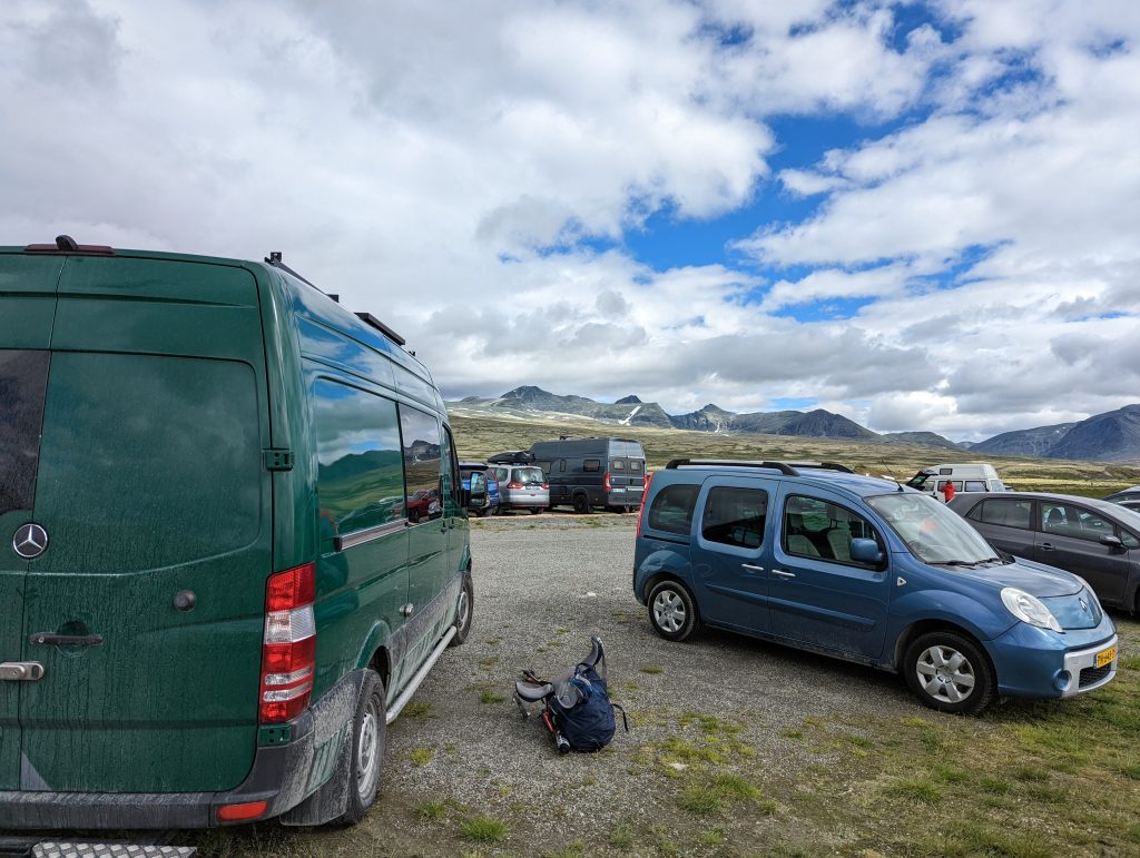
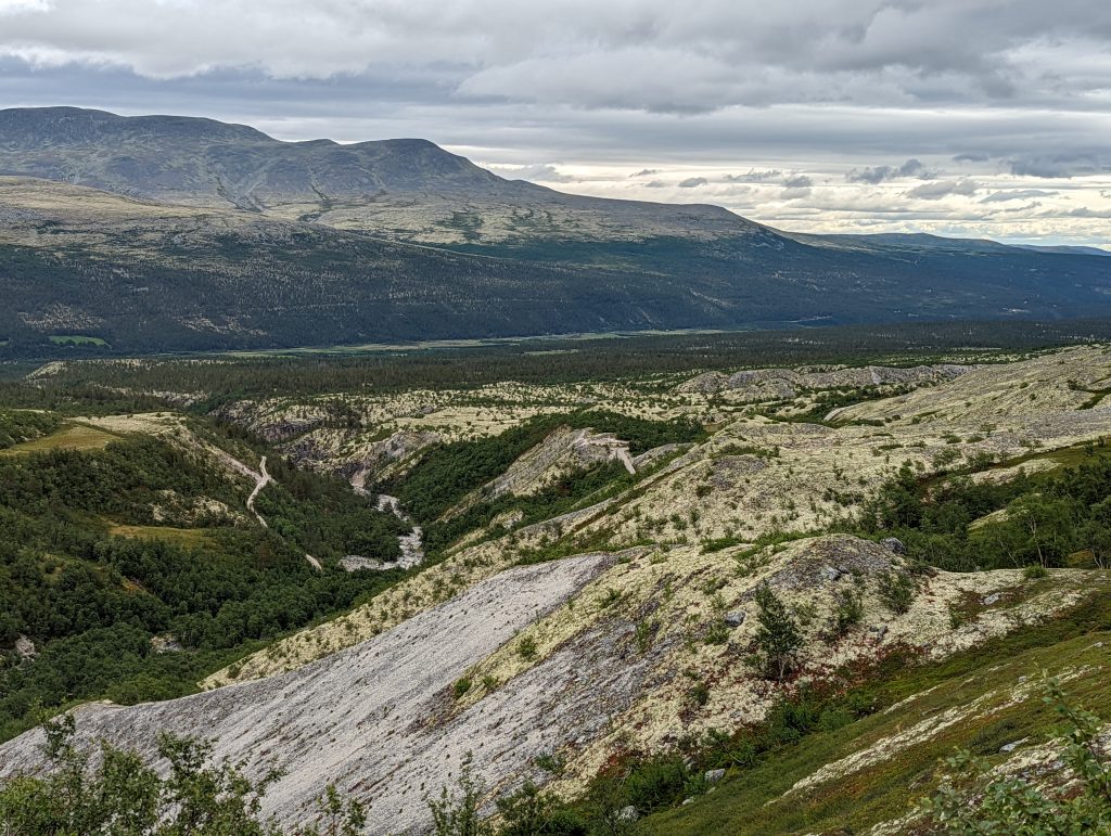
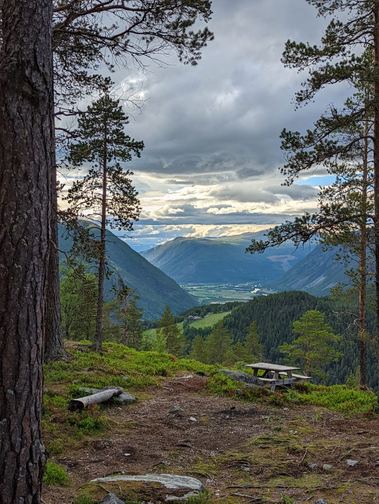
I just arrived at Ottadalen and found a nice place to park my van for the night. It happened to be a beautiful site with a gorgeous view over the valley. The weather was changing by the hour so I was going in-and-out of my van. But I was able to enjoy a nice coffee with the view you see in the picture above.
I first wanted to park my van (backwards) at a spot where I could have the view over the valley from inside, but unexpectedly some rocks were a bit higher than I expected and scraped my tow-bar, so I thought… In reality I scraped off the last bit of my diesel-heater’s exhaust pipe, which has sort of an end-cap. Luckily it wasn’t too badly damaged so with some pliers and a screwdriver I could repair it on the spot.
A little while after me a couple of German ladies pulled up at the same spot. We got to talk and had a drink, with that same awesome view and had a nice conversation about nice hikes and places to go to. They pulled up a travel book with hikes in the 2 national parks we were basically camping next to.
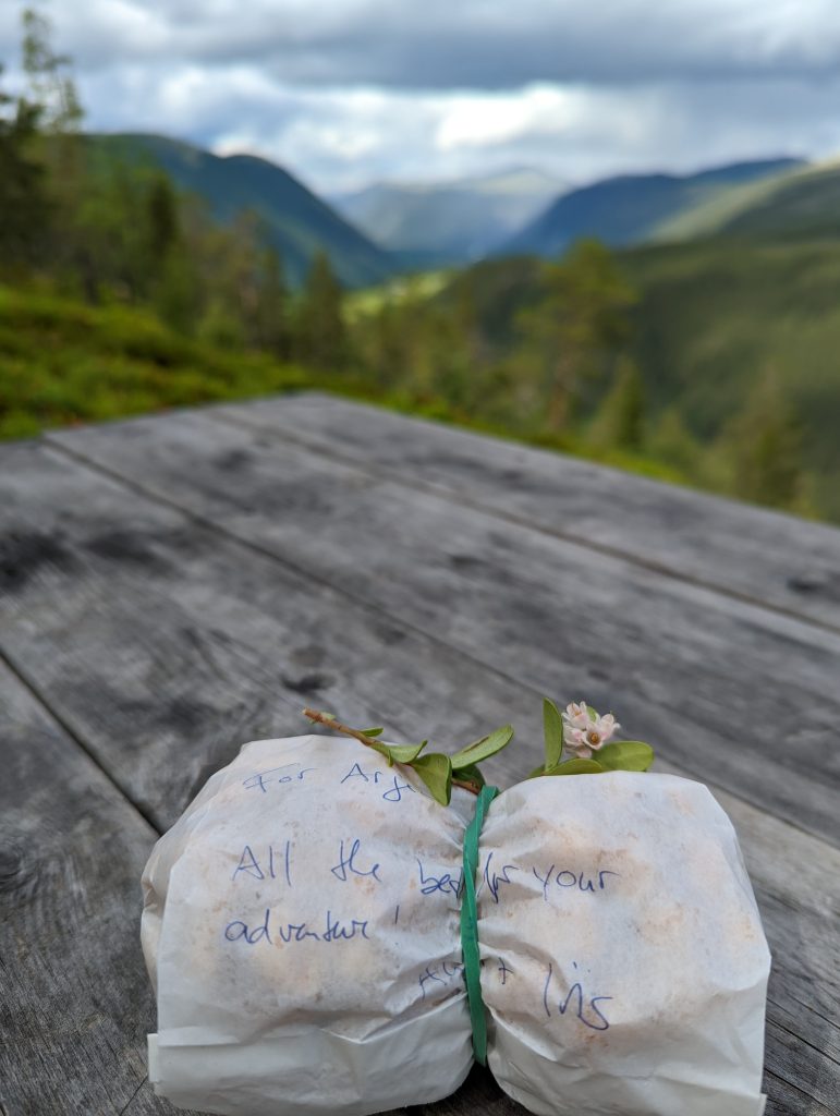
I took some pictures of a couple interesting ones and decided (the next day) to do the Rondvassbu one. The next morning (or afternoon actually, my biological clock shifted quite a bit due to the not-so-dark nights) I woke up and walked with my cup of coffee to the picnic table where I found a nice little surprise :D. Sure, traveling alone is nice, but it’s the people you meet along the way that make it great!
Prepare, prepare, prepare
It was now time to make my planning for the hike. My freshly developed routine is to go to Gaia GPS (website/app) and literally draw my route on the map. I can share that route with my loved ones and also download it as a file to put on my Garmin GPS. That way I have the route (offline) at both my phone and my GPS device. Should one of them break, I still have a back-up.
By the end of the day I drove to the start of the trail, sort of, because the last 5km were inside the park which you can’t enter with your vehicle. So I camped near the official parking lot and had to change the route to include these extra 10km for the round trip. So my total trip came to be 40km long. I would take 2 days to complete it, but prepared food-wise for 3 days.
Day 1 – Highs and Lows
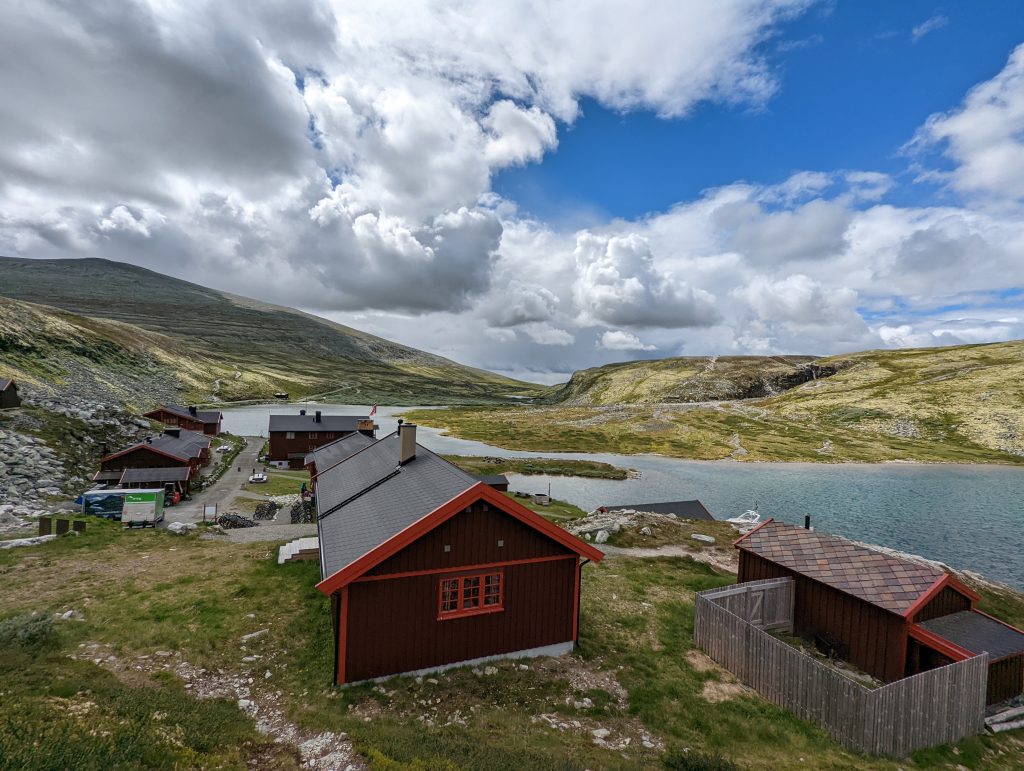
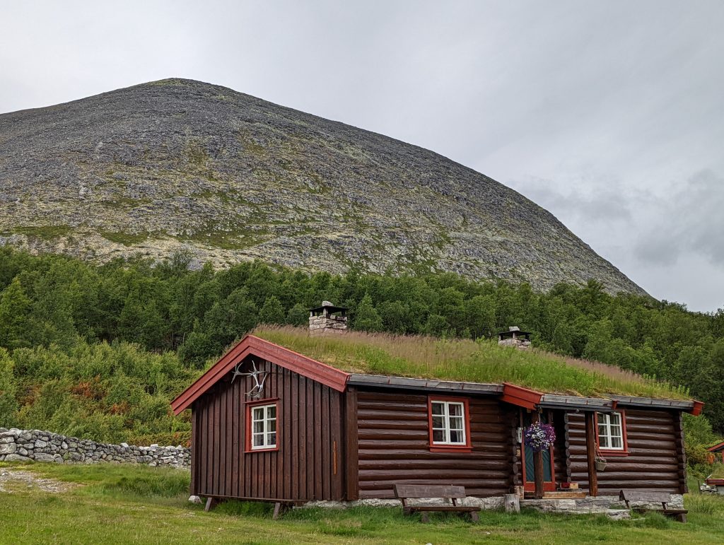
I had set my alarm at 7 in the morning, so I actually got out of bed at 9. While it wasn’t my plan it doesn’t matter, there’s daylight here 24/7 anyway! I packed my bag and started to walk to the official start of the trail (that 5km) to Rondvassbu (1173m) where there were a few nice lakeside cabins and you could get some food there. I paused there for a little while and then moved on to hike to the Vinjeronden peak (2044m).
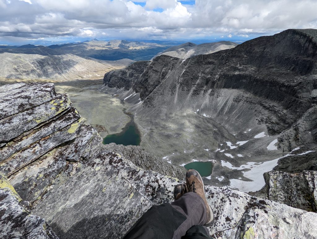
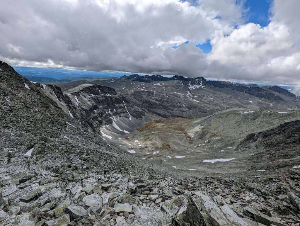
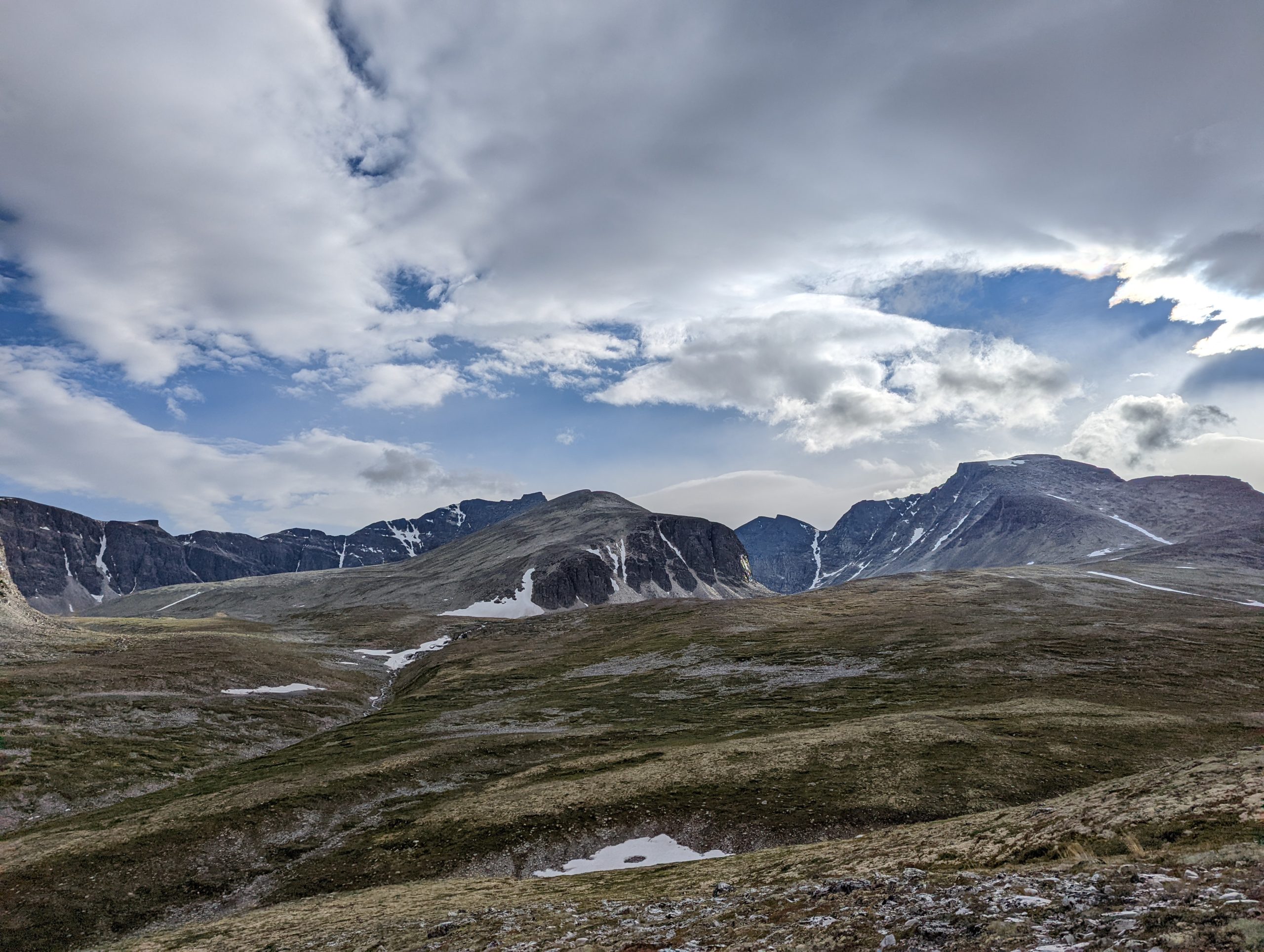
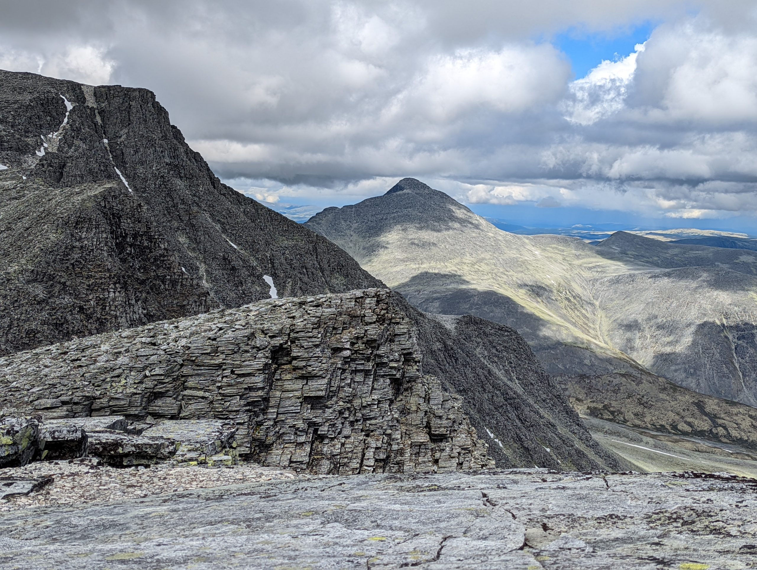
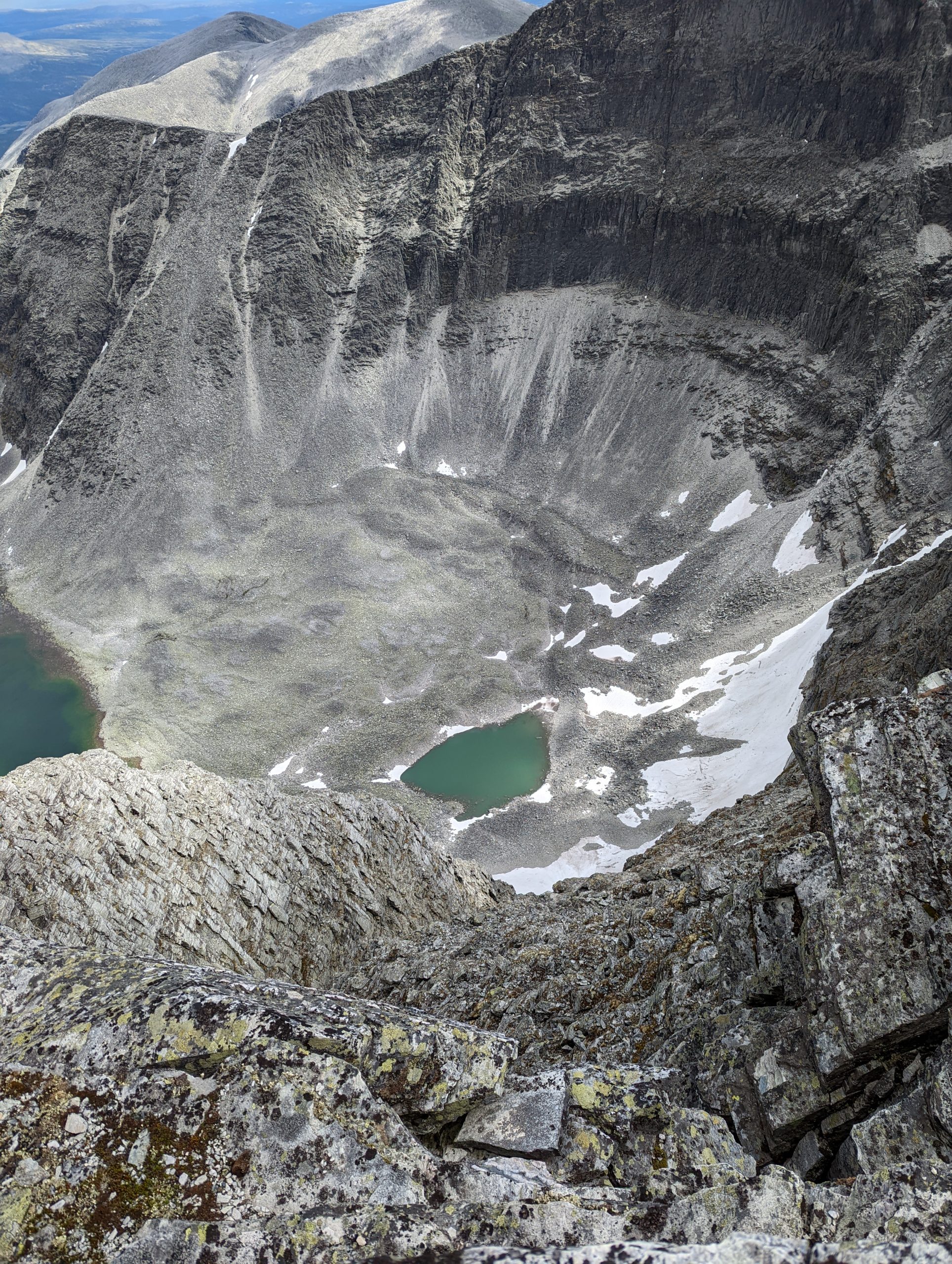
So that was a 871m climb most of which was in the last kilometer to the top, but the weather was nice and the views very rewarding. The surroundings looked more like a decomissioned vulcano than a mountain shaped by ice/glaciers, it all looked very gray and hostile to life, but impressive nevertheless. I first didn’t realize I actually had to climb another peak that was even higher, the Rondslottet peak (2178m). To reach that one I had to descend several hundred meters and then climb up the same amount and a bit more.
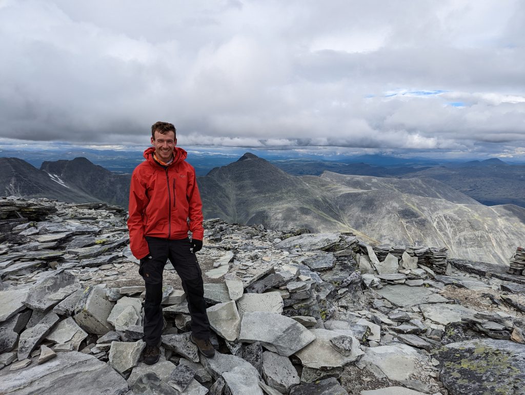
I spend a little while at the Rondslottet peak as well, where I got to talk with a Norwegian couple who were on their honeymoon there, I asked a bit about the nice places I should visit and got some great suggestions for my next adventures! We couldn’t talk for too long because the peak was quite windy, enough to cool you down significantly within a few minutes. But they were so nice to take this ‘I conquered this mountain’-picture for me:
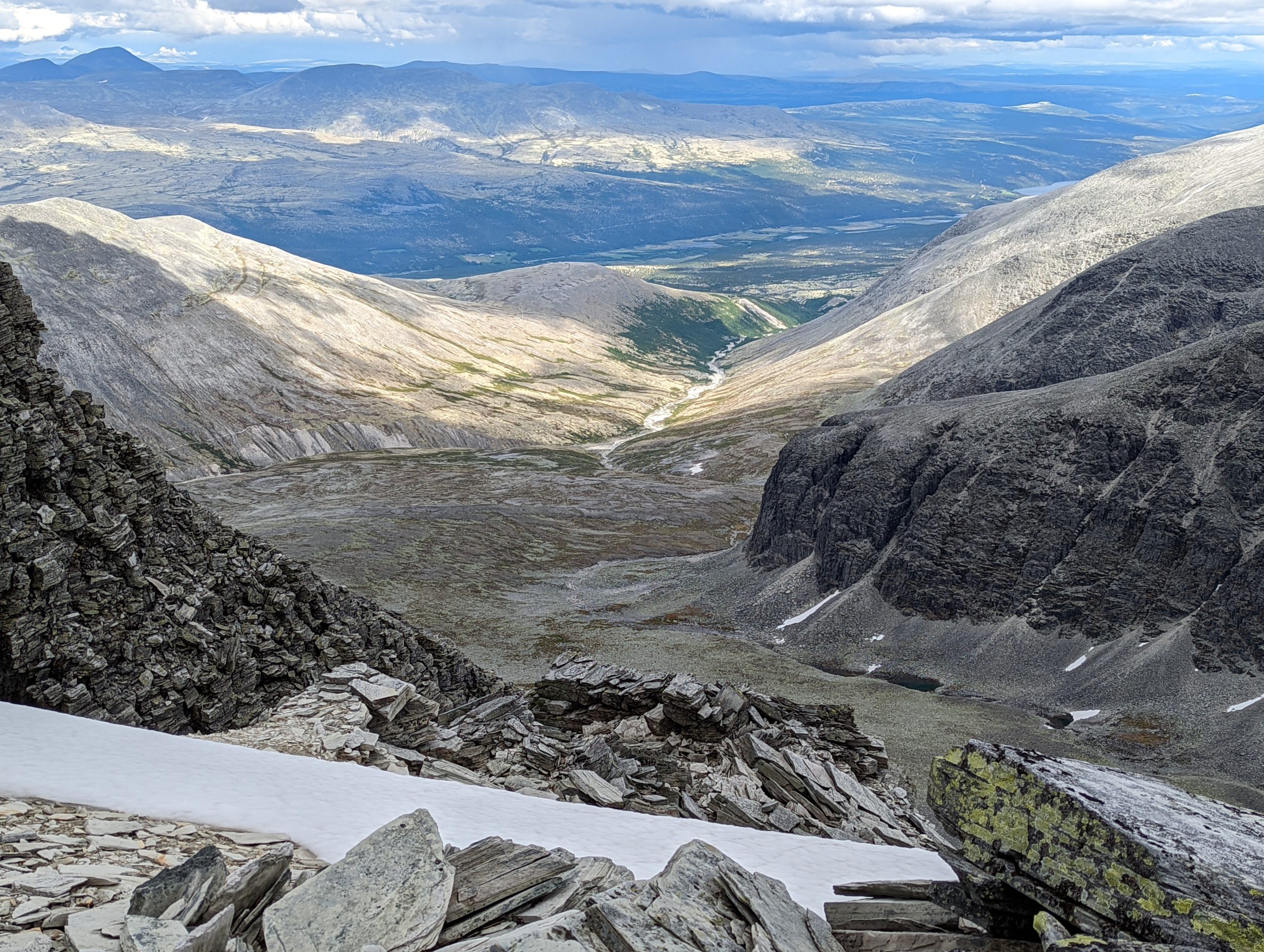
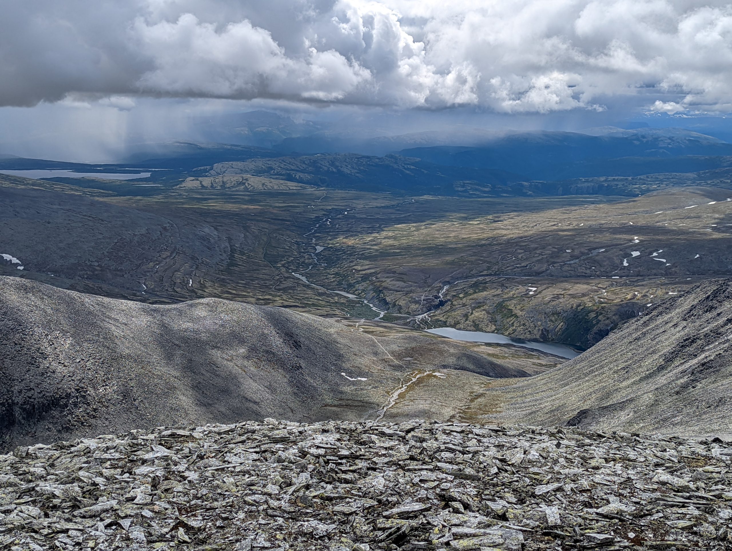

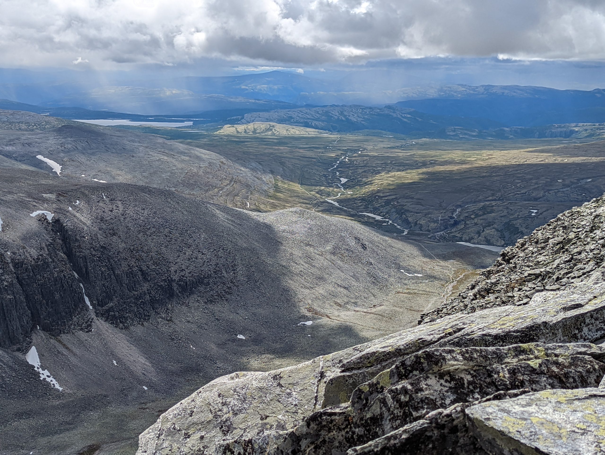
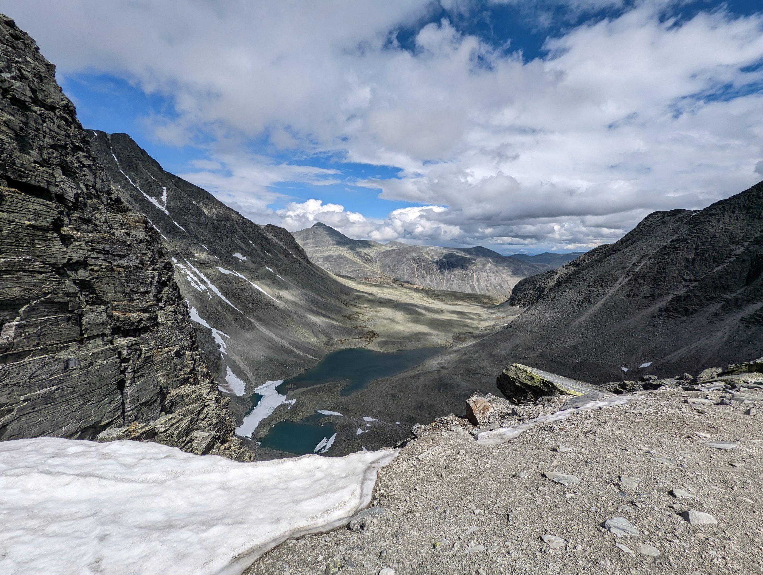
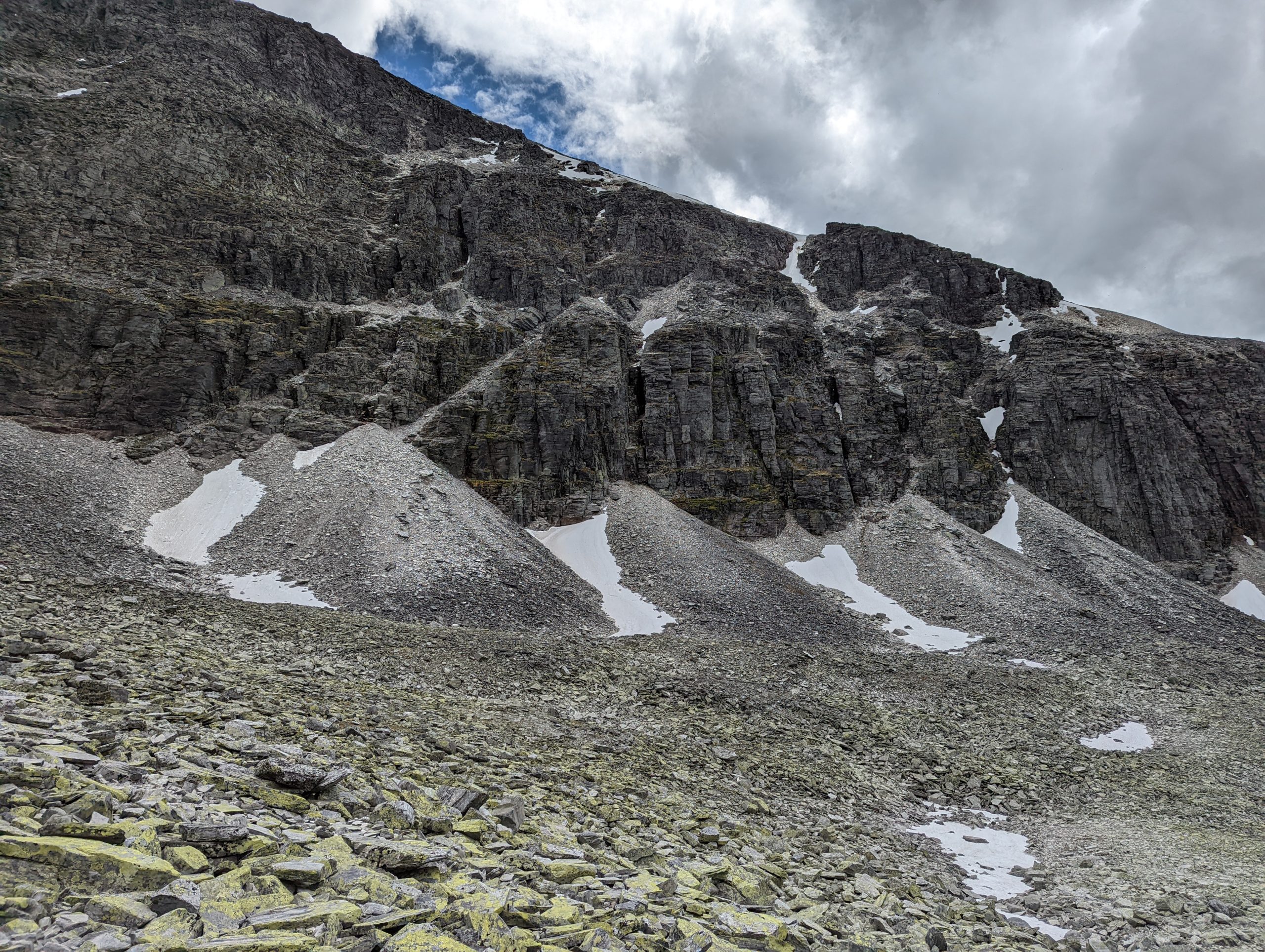
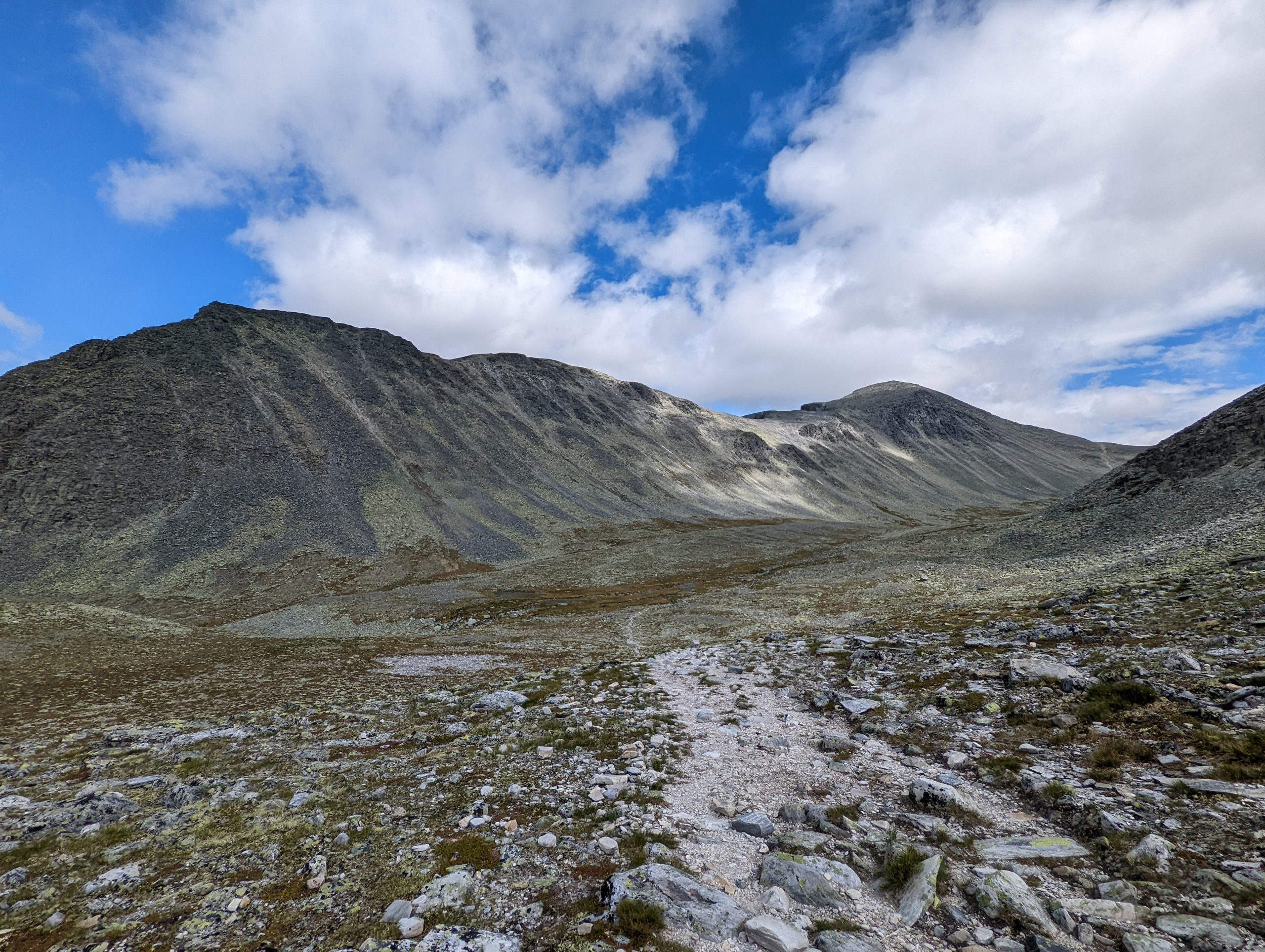
I then descended from the top into the valley and walked several hours back to the treeline for some cover against the wind during the night. So I slept where the green starts again in that valley in the picture below.
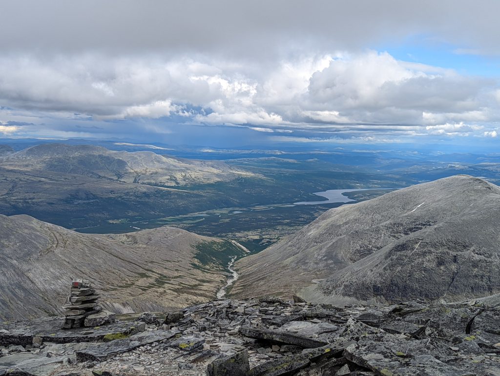
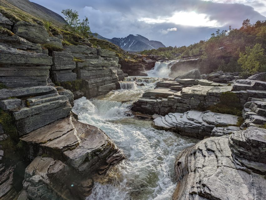
There was a river quite close to my campspot, which was juuust far away enough to not bother me during the night. And just close enough to drown out the noises of all the scary animals out there that will try to eat me that night.
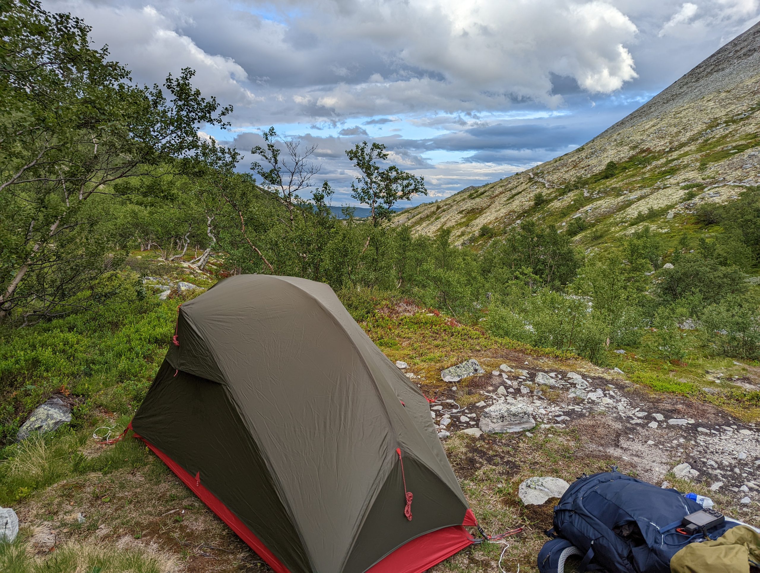
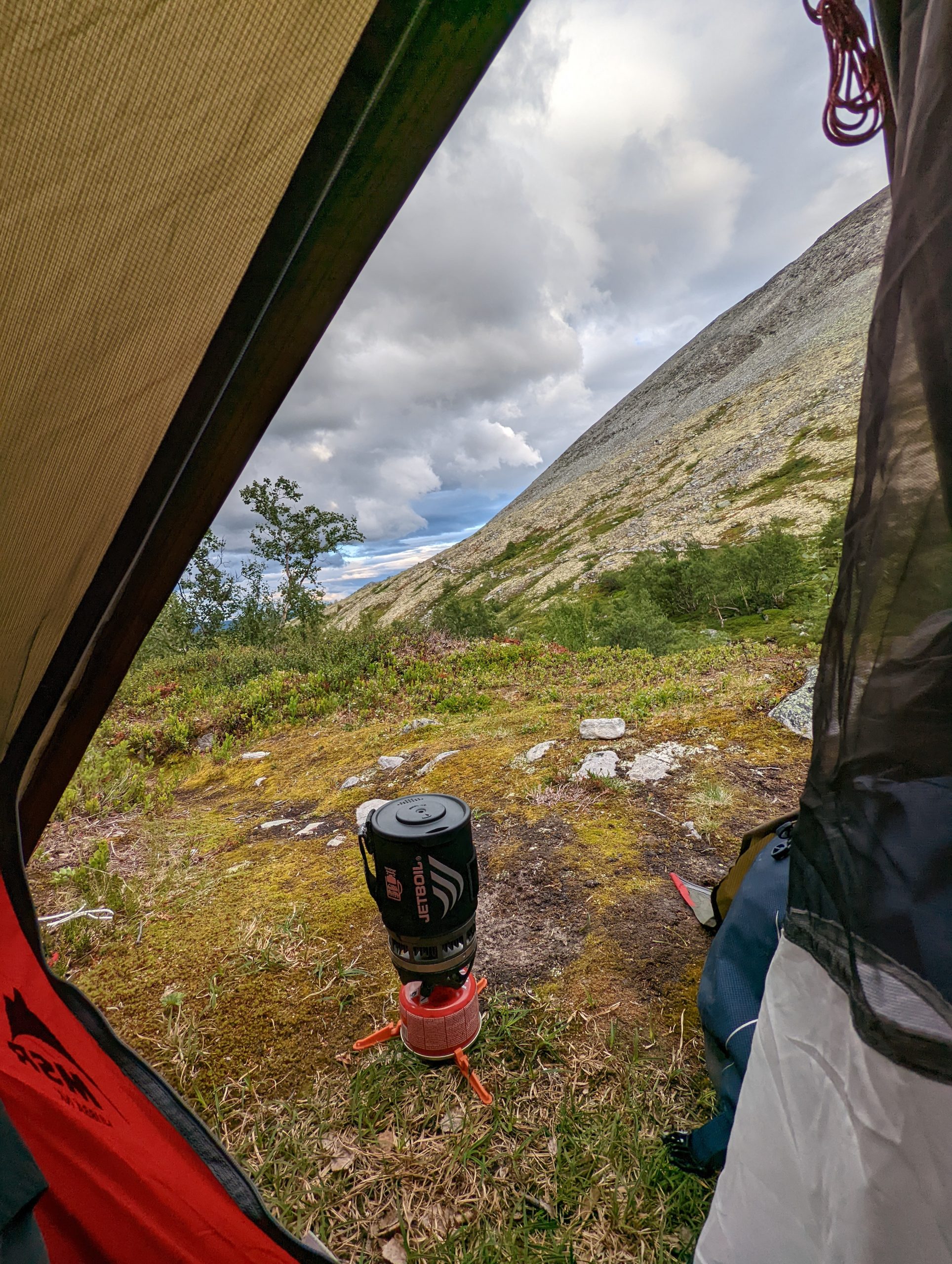
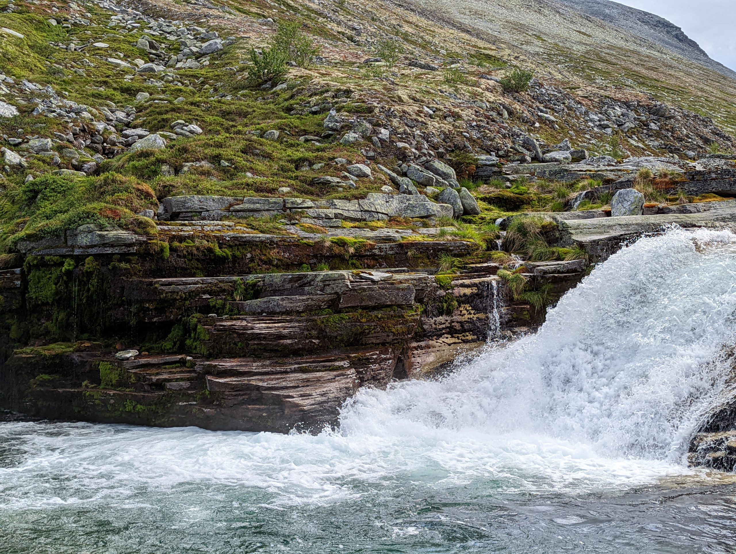
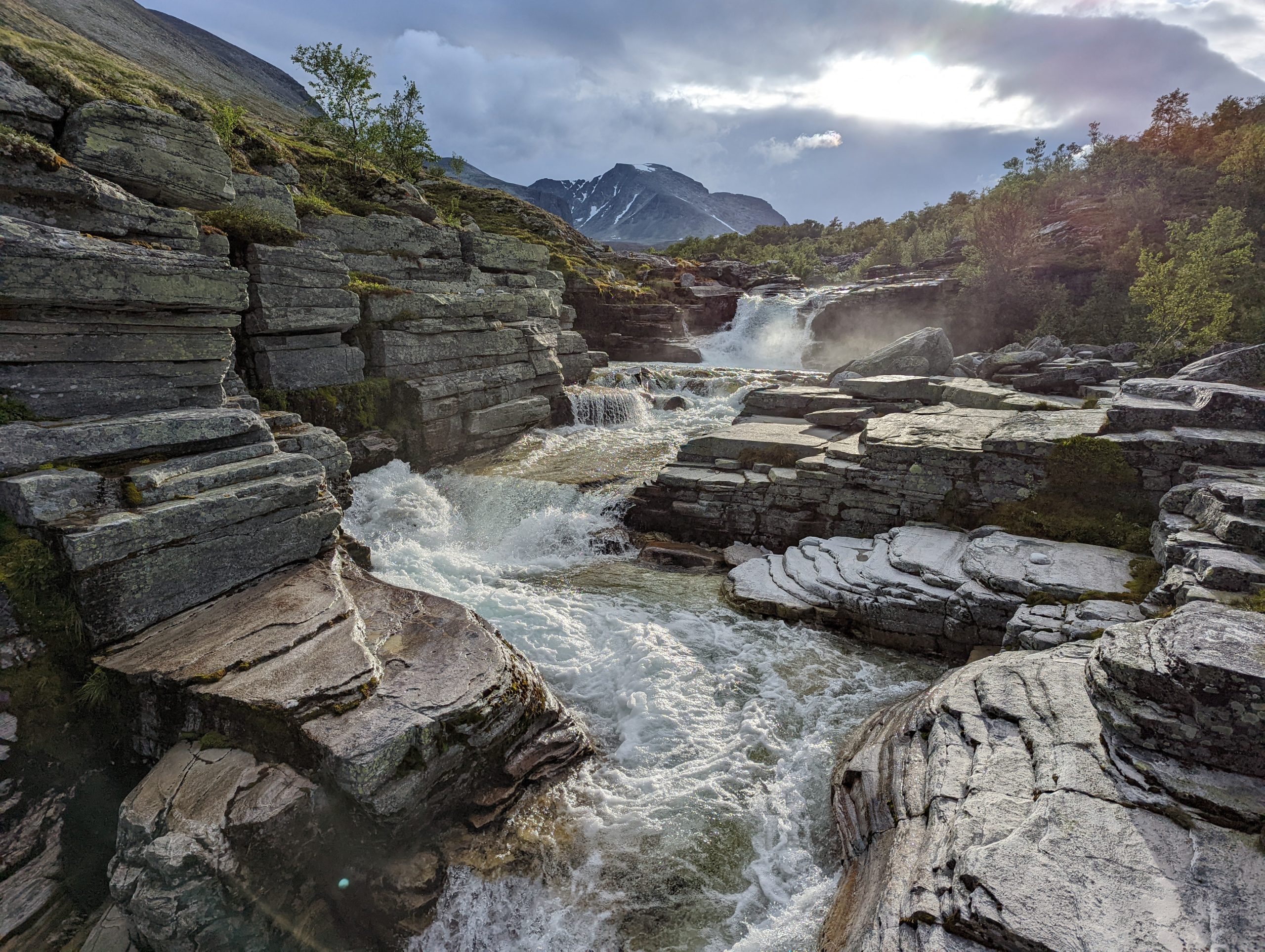
I ended up hiking 22km with 1402m of elevation gain and 1523m of descent, not such a bad result I think.
Day 2
So I woke up sort of refreshed and packed up my tent to go hike the second part. I had just enough cell signal to catch a fresh weather forecast which was up to no good. It said pretty much the whole afternoon would be rain. It didn’t lie…
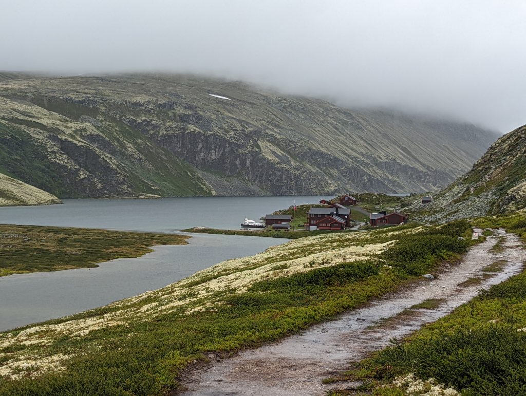
The first part was to hike to Bjørnhollia (911m), where it was still dry luckily, but I could see the dark clouds awaiting me for the next part already. I took a longer break and had some cup-a-soup to cheer me up before heading for the next point, which would be back at Rondvassbu (1173m).
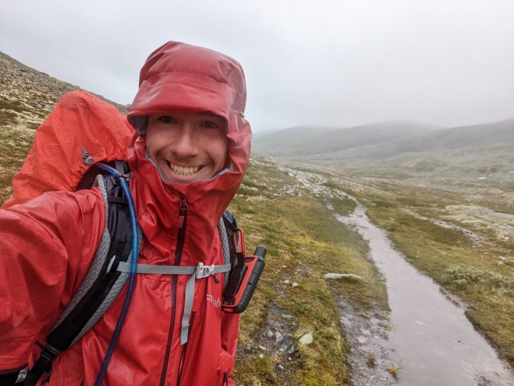
It didn’t take long before continuing my trek that it started to rain, it wasn’t too bad at first, just some drizzling but it picked up to where it would soak you in ~15-20min, doesn’t sound too bad but hiking in that for hours, with quite some wind and the temperature dropped to around 3-4 degrees celsius… You just don’t want to get wet in that situation. Luckily I prepared well and have a good rain-shell and rain-pants so didn’t really suffer there. Just very cold hands. And my boots did get wet on the inside, I did cross some streams but never dipped my shoes below the surface, my shoes should be able to stay dry in that situation. I’m just glad that my feet handled it pretty well and didn’t even get cold.
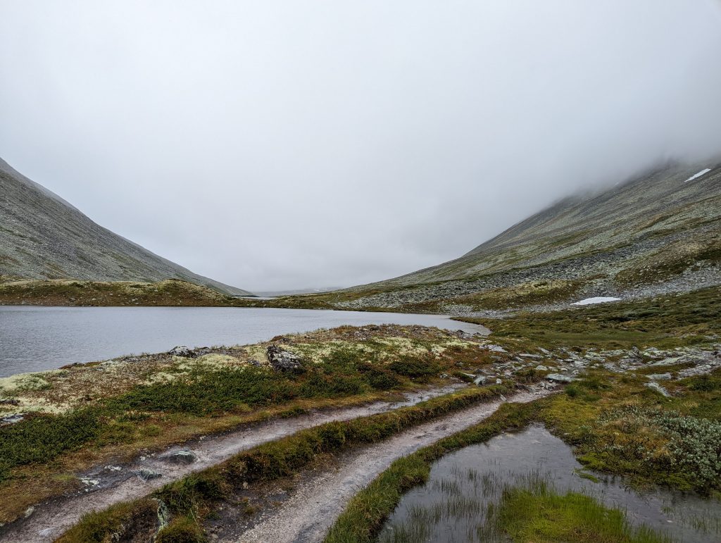
Hiking in Norway by the way isn’t much like the nice trails you get when hiking in the Alps, quite often it’s pretty hard to keep track (no pun intended) of the track or every step is either in the dirt, water or an angled rock. So you don’t move that quickly…
I came across one snow-patch that looked very iffy for me to cross, I was afraid that the snow might have gotten icy from the rain, it was quite steep and sliding off it would mean a nice plunge in the lake just below it. Not like a dangerous fall, but it was cold and rainy so that might be a very big problem very fast. I’m just glad there was an opportunity to climb along the edges of the snow-patch, which I ended up doing.
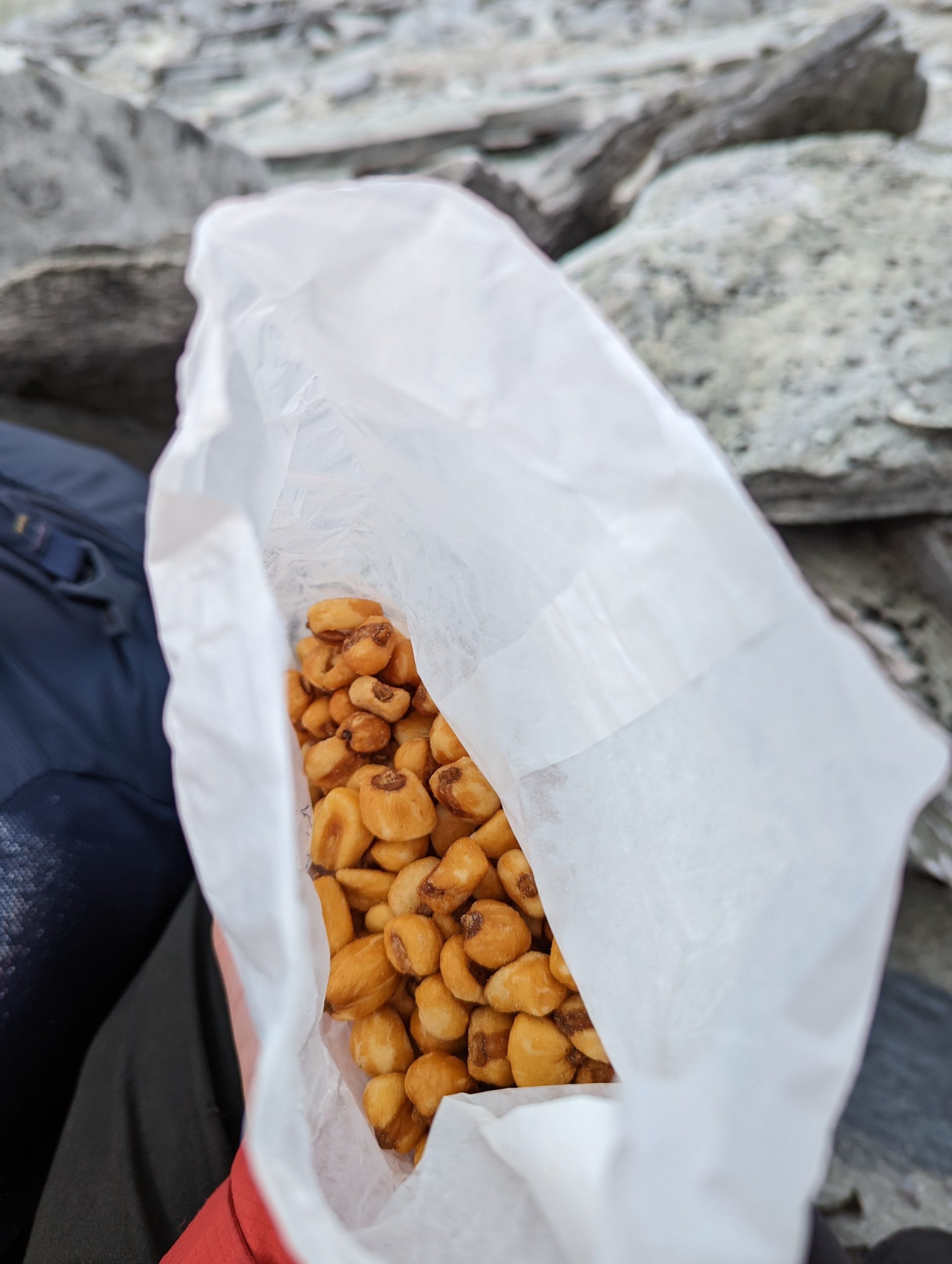
After 4-5 hours I made it back to Rondvassbu where I decided to treat myself a bit before heading the last 5km home. So I ordered a nice coffee, and some crisps, and a cinnamon bun…
…And a hot chocalate. When spirits were back to normal levels I hiked the last ~hour back to the van.
I ended up hiking a solid 24,4km this day, I ascended 643m and descended 520m.
Back home
When I return home I immediately turned up the heater and hanged out all the stuff I had to dry out. It’s surprising how well my heater can create this nice dry heat. Within I think 2 hours everything was dry again.
I ended up hiking roughly 47km in total. Climbing and descending more than 2km in elevation!

Respect